")
")
Mires and Peatlands | Research Interests | Geo-Energy Resources Team
Mire is a water-saturated land (ecosystem), in which organic (vegetative) matter is accumulated faster than it is decomposed. This sediment is called peat.
Peat is an unconsolidated, organogenic and organic sediment consisting mainly of humified remains of helophytic (subordinately, aquatic) plants. The plant remains (stems and roots of sedges and reeds, dead trees, leaves, fruits, pollen) become partly decomposed under waterlogged, anoxic conditions. In the mire, the new plants grow upon the old. Inorganic mineral matter washed or blown into the mire, also contributes to peat formation. Peat has a brownish to black colour. It constitutes the precursor of coal, since coal derives from peat through coalification.
Peatland is a peat deposit with significant thickness of peat beds.
Depending on the morphology and their forming conditions, mires and peatlands can be distinguished into three main classes: fens, bogs, and transitional mires.
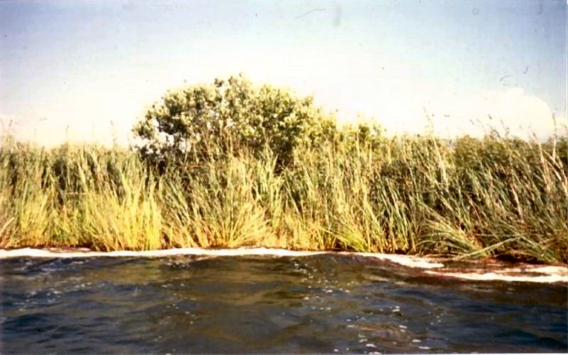
Fens form in low-lying areas occupied by stagnant water for long time every year. Since their formation depends on the topographic conditions, they are also called topogenous mires. The fens are supplied with ground and surface waters, rich in ions; therefore, the conditions are eutrophic, and the helophytic flora is very luxuriant.
Bogs form in areas with humid climatic conditions. Their formation depends only on the precipitation; therefore, they are also called ombrogenous mires and the conditions are oligotrophic. Respectively, the helophytic vegetation is restricted to mosses, Sphagnum spp. and lichens, in northern latitudes, with a few tree species in the tropical zone.
Transitional mires have an intermediate position between fen and bog. They are called ombrominerotrophic, since ground and surface waters and precipitation feed them. The flora thriving in transitional mires includes both fen and bog elements.
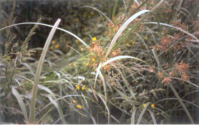
Heloptic plants | Photographies
Heloptic plants | Photographies
Butomus umbellatus
Carex flacca 01
Carex flacca 02
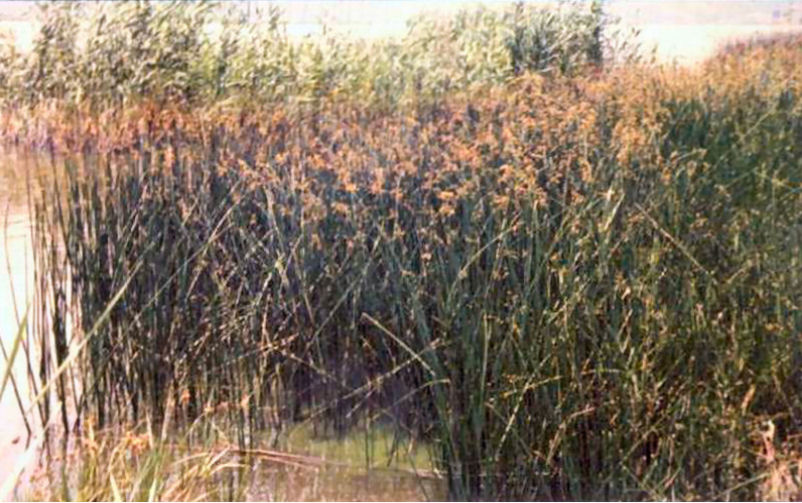
Cladium mariscus 01
Cladium mariscus 02
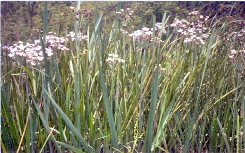
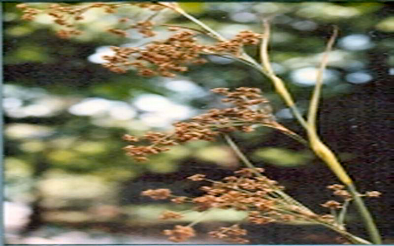
Cyperus longus 01
Cyperus longus 02
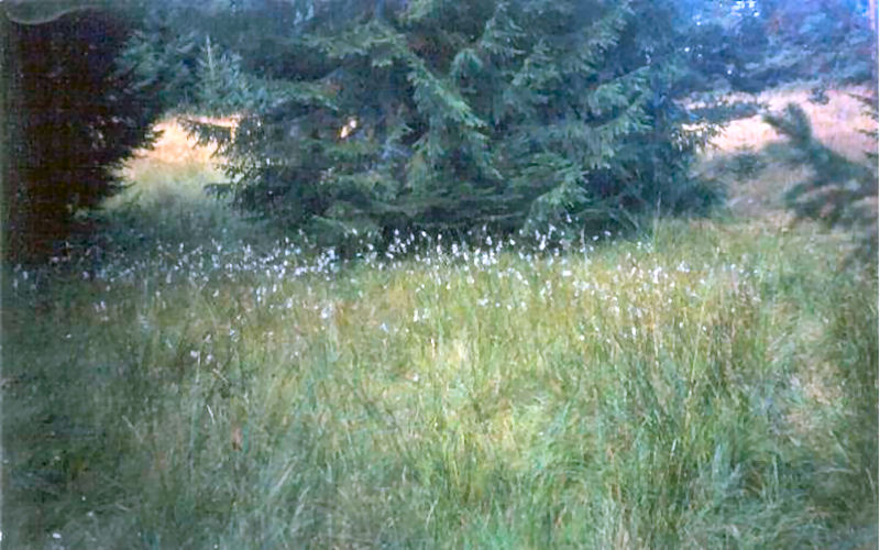
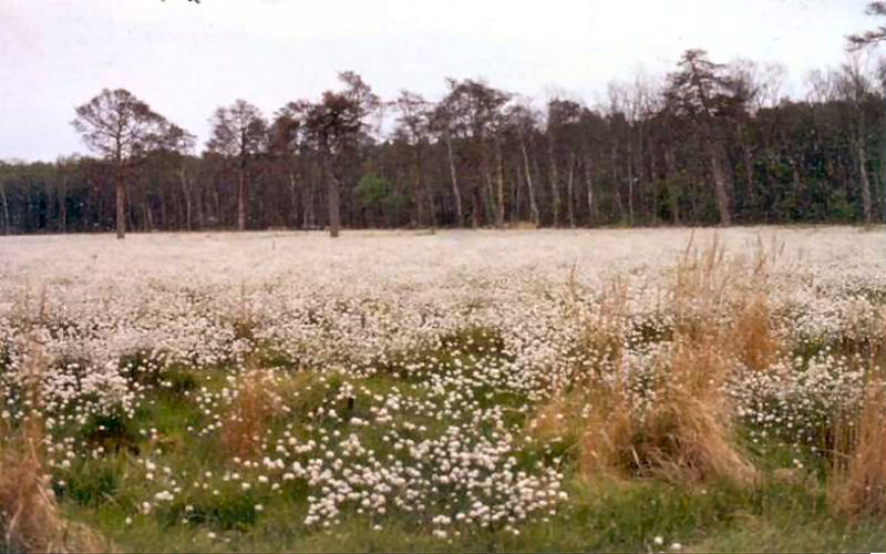
Eriophorum
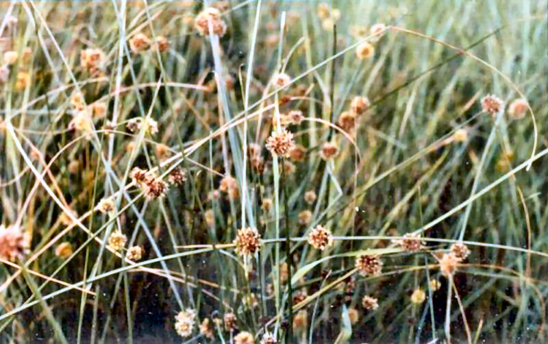
Eriophorum vaginatum
Juncus communis
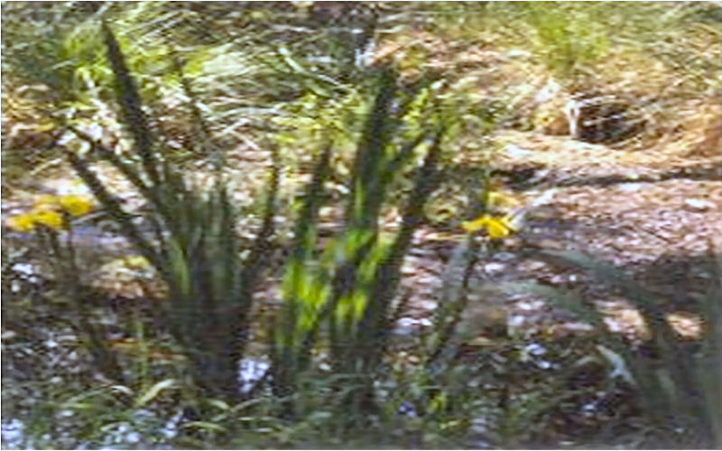
Iris pseudacorus
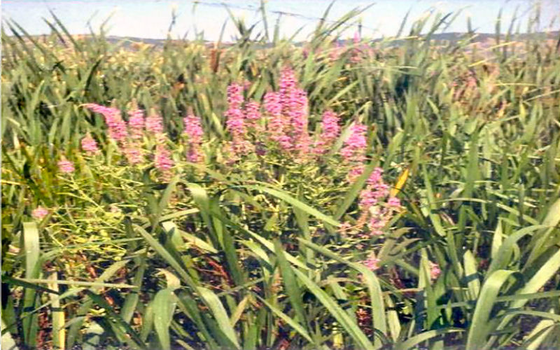
Lythrum salicaria
Scirpus lacustris 01
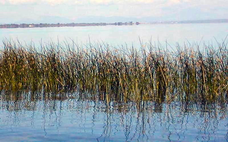
Scirpus lacustris 02
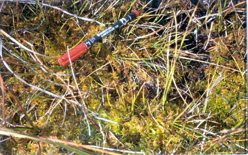
Sphagnum
Aquatic Plants | Photographies
Aquatic Plants | Photographies
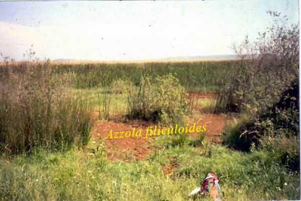
Azzola filiculoides
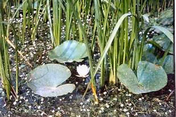
Nymphaea alba 01
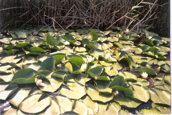
Nymphaea alba 02
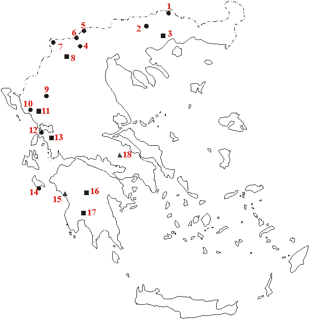
Mires and Peatlands in Greece
Mires and Peatlands in Greece
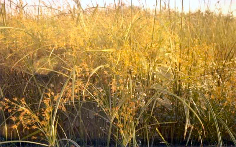
In Greece, peat forms mainly in topogenous mires (fens) located in intermontane basins while no recent fens in paralic environments are known. The fens form by terrestrialization, i.e. by infilling of lakes, and/or by paludification, i.e. by flooding of flat areas due to the relative rise of the groundwater table. The main peat-forming plants are reeds and sedges; they comprise mainly Phragmites australis, Typha angustifolia, T. latifolia, Cyperaceae, namely Cladium mariscus, Carex spp., Scirpus spp., and subordinately Alisma plantago-aquatica, Lythrum salicaria, Iris pseudacorus, species of the genera Sparganium, Equisetum, Eleocharis, andSalix, as well as aquatic and subaquatic plants, such asNuphar lutea, Nymphaea alba, species of Myriophyllum, Ceratophyllum, Potamogeton etc. On the mountains of the northern country part and at altitudes higher than +1400 m, some small transitional mires occur in hollows on the slopes around springs (spring and sloping mires). The vegetation cover consists of Sphagnum squarrosum, Sph. flexuosum, Polytrichum commune, Bryum neodamense, Calliergon sarmentosum, Mnium elatum, Philonotis fontana, Eriophorum latifolium, Carex spp., Equisetum spp.
Since ancient times, the Greek mires have been drastically changed by human intervention, which diminished their extent. The country is mountainous and fertile soil suitable for crop production is limited to the few plains. As mires and, in general, wetlands occupied a significant part of the plains, they were considered hostile environments promoting also malaria.
The first interventions were undertaken some 3,500 years ago by the Minyans, the prehistoric inhabitants of the Kopais basin. They drained out and started cultivating the plain, which flooded again in the 15 th or 16th century AD. Finally, in 1887, the area (~20,000 ha) has been drained permanently. In the dry seasons of the next years, the drained peat, up to 4 m thick, has been totally burned up by self-ignition.
The drainage of wetlands was practiced to a larger scale during the 20 th century, especially in times when refugees came to Greece and the demand for agricultural land increased. Unfortunately, there are no accurate data about the extent of the drained areas over the country. It is estimated that in the time span from 1930 until the World War II, only in Macedonia, which was the richest in wetlands part of Greece, 94.3% of the area ever occupied by mires, i.e. around 93,000 ha, were drained out and cultivated.
This kind of wetland amelioration for land reclamation was applied until 1970, when some environmental problems became evident. For example, the brackish soils of the drained lake and mire of Agoulinitsa were proved unsuitable for cultivation, the surface of the Philippi peatland rapidly subsided, and the organic matter of the Chimaditida fen disappeared. From that time on, a time coinciding with the begin of the general environmental awakening, the ecological value of the wetlands started being gradually recognized. Wetland amelioration was cancelled and discussions about conservation and re-wetting of already drained wetlands started.
|
|
||||||
|
||||||
|
The largest fen i n Greece and the thickest one all over the world is the famous Philippi peatland (surface 55 km 2, peat thickness 190 m, reserves 4,300 million m3). The peat along the whole profile consists of reeds and sedges. It started accumulating during Cromerian around 700,000 years ago and continued up to the drainage of the peatland for agricultural use between 1931-44. Immediately after peat has been drained contraction began, resulting in the destruction of infrastructure works, such as bridges over canals, roads etc. In 1960, after only 15 years of cultivation, the former fen surface was already subsided to a maximum depth of 3.5 m. Actual data on the recent subsidence do not exist. Except of this enormous subsidence of the surface, which causes a continuous demand for the improvement of the drainage system and also the infrastructure, another serious problem is the decrease of the harvesting rates as a result of the intense cultivation. In order to keep crop production stable, the demand for continuously increasing amounts of fertilizers is necessary, which results in the increase of the production cost and the pollution of the groundwater. In the seventies, the Greek Public Power Corporation (P.P.C.) planned to exploit this peat deposit up to a depth of only 15 m for electric power generation, but due to socio-political problems the project is still in abeyance. However, the discovery of the big lignite deposit of Drama in the north of the Philippi peatland makes possible a combined future exploitation. Between 1990 and 1993, the Public Mining Company (G.E.M.E.E.) produced small amounts of milled peat from a 10 ha pilot area and after mixing with Finnish and Russian bog peat sold it for agricultural and horticultural uses. In the Nissi fen (surface 9 km2, peat thickness 15 m thick, reserves 50 million m3) peat started accumulating since Late Glacial. In the late seventies, peat mining was planned in order to feed a thermoelectric power plant. Later on, plans were made to utilize peat for agricultural and horticultural purposes. Due to protests by the inhabitants both projects have been cancelled. The fen surface is rather intact and it is used as meadow and pasture. Before 1930 the mire north of the Chimaditida Lake covered an area of 28 km2. After the drainage, 25 km2 of the whole area started being cultivated for corn and trefoil. Drilling carried out in 1975-76 resulted in the discovery of a peat formation up to 3.5 m thick with reserves of one million m3 of natural peat. Meanwhile, the organic matter is lost due to oxidation or self-ignition. Today, only some peatland relics exist, while the fen is restricted to a narrow zone along the north-western and northern shores of Chimaditida Lake. The helophytic communities consisting mainly of Typha spp. grow in the greatest part of the shallow lake resulting in its infilling. The process is accelerating by eutrophism, which is caused by the washing-out of fertilizers, insecticides, pesticides etc. used by the farmers in the surrounding land. The Small Prespa fe n (surface 4-km2, maximum peat thickness 0.3 m) is located at the shores of the homonymous lake located in north-western Macedonia. The fen remains intact, because the broad area became a National Park since 1974, protected by the Ramsar convention. However, the lake and the fen suffer from eutrophism caused by the agricultural activities in the surrounding area. The Kalodiki fen (surface 2-km2, maximum peat thickness 10 m, reserves 5.5 million m3) is located in Epirus, western Greece. Between 1989-93, the general aridity in Greece, as well as the intense water pumping from surrounding wells, especially during summer, resulted in lowering of the water table about 2 m below the fen surface. The whole fen was dried-out every year during summer and autumn. Subsidence and self-ignition phenomena occurred on the fen surface, while fauna (beavers, carps, birds) was totally eliminated and flora was strongly diminished. The Ioannina fen (surface 2 km2, maximum peat thickness 2.5 m, reserves 1 million m3) is located at the northern shore of Ioannina Lake. Until 1991, both the fen and the lake have heavily suffered from eutrophism caused by waste disposal of the town of Ioannina into the lake. Since then a unit for treatment of wastes is in operation. The Koroni f en (surface 1.2 km2, average peat thickness 5 m, reserves 5 million m3) is partly covered by alluvial sediments. In 1950 the fen was drained and converted into agricultural land, mainly for growing corn. |
||||||